
 |
What on earth are you doing for Heaven's sake? -Unknown |
 |
|
 |
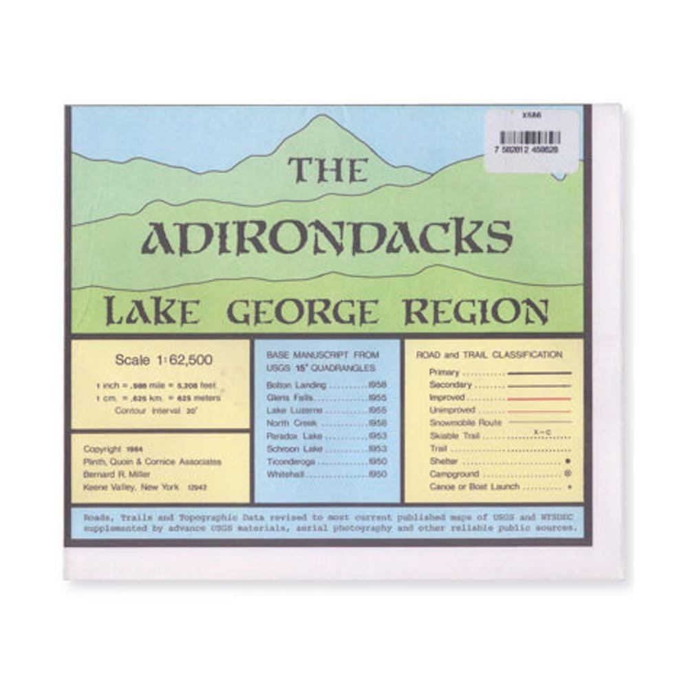
This massive 35 x 45 in. topographic trail map details the area from Whitehall to Lake George to Warrensburg to Stony Creek up to North Hudson, Crown Point, and Ticonderoga. Includes Lake George, Schroon Lake, Brant Lake, Paradox Lake, Eagle Lake, Pharaoh Lake, lower Lake Champlain, and part of the Hudson River. Scale: 1:62,500; contour interval 20 ft.. Lightly treated with a water-resistant coating. Copyright 1984. 7582812458628 20443900012 787452