
 |
What on earth are you doing for Heaven's sake? -Unknown |
 |
|
 |
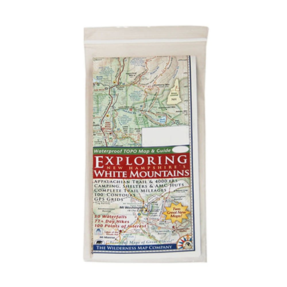
With this detailed, easy-to-read map in your pack, you'll be able to enjoy more than 70 day hikes, 50 waterfalls, and 100 points of interest throughout the beautiful White Mountains of New Hampshire. Double-sided map shows The “White Mountain Trail” Region on one side and the Presidential Range – Wild River on the other. White Mountain Trail Region side:~ Details everything between Franconia and Conway~ Scale: 1:100,000 (1 in. = 1.6 mi. = 2.5 km)~ Includes hiking/trip planning tips and the “Hiker Responsibility Code”. Presidential Range – Wild River side:~ Scale: 1:62,500 (1 in. = 1 mi. = 1.6 km)~ Includes hiking safety tips. Includes picnic areas, viewpoints, AMC huts, camping areas and shelters, covered bridges, trout fishing areas, shuttle stops, and more. Features 100 ft. contours, complete trail mileages, and GPS grids. Printed on coated paper. 9 x 4 in. folded / 24 x 18 in. unfolded 9780978593247 20453200012 791505