
 |
What on earth are you doing for Heaven's sake? -Unknown |
 |
|
 |
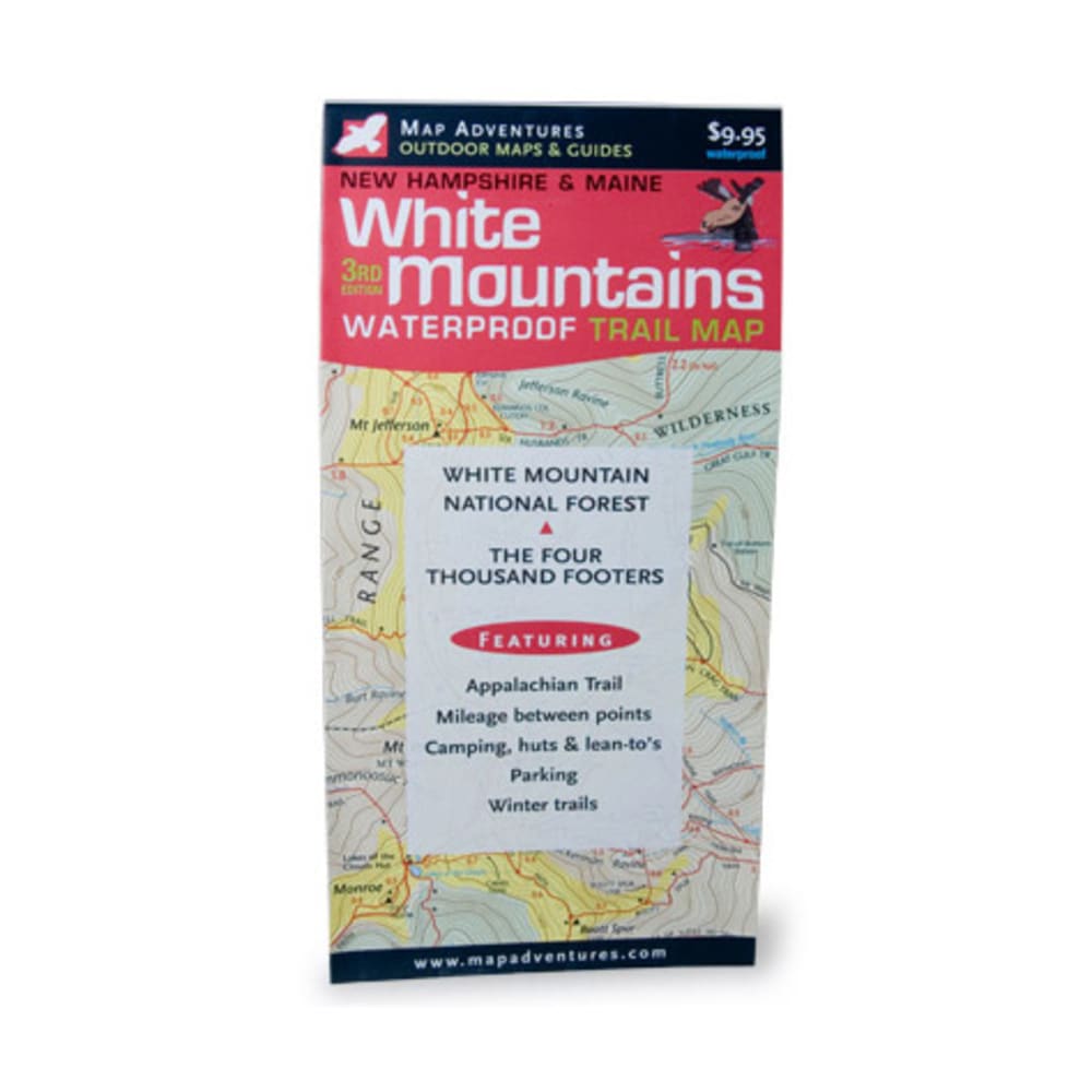
This waterproof, tear-resistant contour map includes trail mileage and is great for planning trips in the White Mountains. It features the Appalachain Trail, mileage between points, camping, huts & lean-tos, parking, and winter trails. Side 1: Includes Presidential Range, Pemigewasset Wilderness, and Sandwich Wilderness areas (scale: 1:75,000). Side 2: Includes Mount Washington, Great Gulf Wilderness area, and Carter-Moriah Range (scale: 1:50,000). Hiking trails (with color codes to indicate level of difficulty) and cross-country and snowshoe trails, as well as locations for parking and camping. Dimensions: 4 x 8 1/8 inches folded; 28 x 24 inches fully opened. 3rd edition, 2006. 9781890060237 20447700012 103076