
 |
What on earth are you doing for Heaven's sake? -Unknown |
 |
|
 |
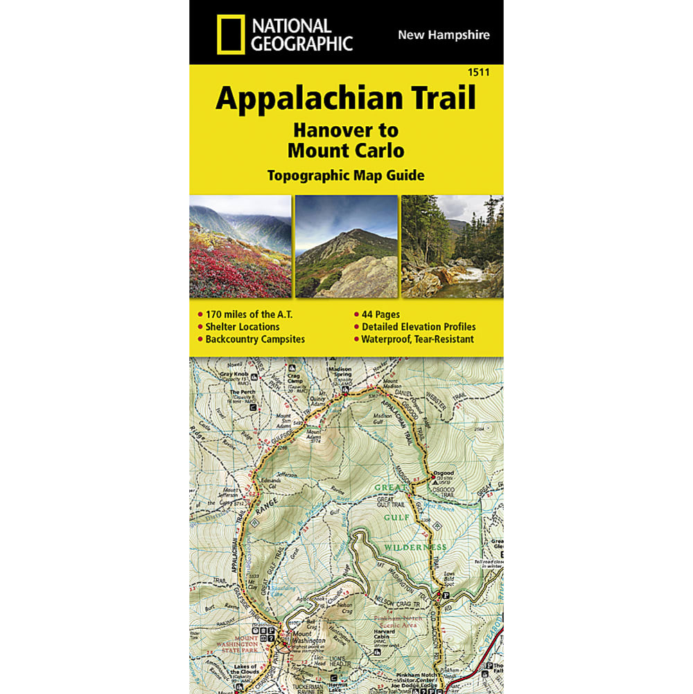
Day-trippers and thru-hikers alike will be glad they brought a map on the Appalachian Trail. This map covers the New Hampshire section of the trail: Hanover to Mount Carlo. With long stretches above the tree line and the possibility of snow any month of the year, this map is a must. Printed on waterproof tear-resistant paper. Full UTM grid to aid with GPS navigation. 4 1/4 in. x 9 3/8 in. folded. Scale 1:63,350. Includes detailed topographic maps at a detail of 1 in. = 1 mile. Each page is centered on the Appalachian Trail and overlaps adjacent pages. Trail profile shows distance between shelters, camping areas, and trail access points. Step by step visual guide. Clearly marked trails for hiking, biking, horseback riding, ATV, and more. Color-coded boundaries of state parks, national recreation areas, wilderness areas, marine sanctuaries, and wildlife refuges. Hundreds of points of interest, including: scenic viewpoints, campgrounds, boat launches, swimming areas, fishing access points, and more.. Detailed road network. ?? 2014. 749717915114 20441400012 TI00001511